
May 21, 2023
WEDGE MOUNTAIN STATS
Elevation 2895m high from sea level
Prominence 2249m
Wedge Mountain is located in Garibaldi Provincial Park, approx 14 km North of Whistler Village in southwestern BC. It is the tallest summit in the Garibaldi Ranges and a prize to climb to its top.
With 2 previous failed attempts due to poor weather conditions, Wedge has been on my mind for quite sometime and the need to conquer it was a definite.
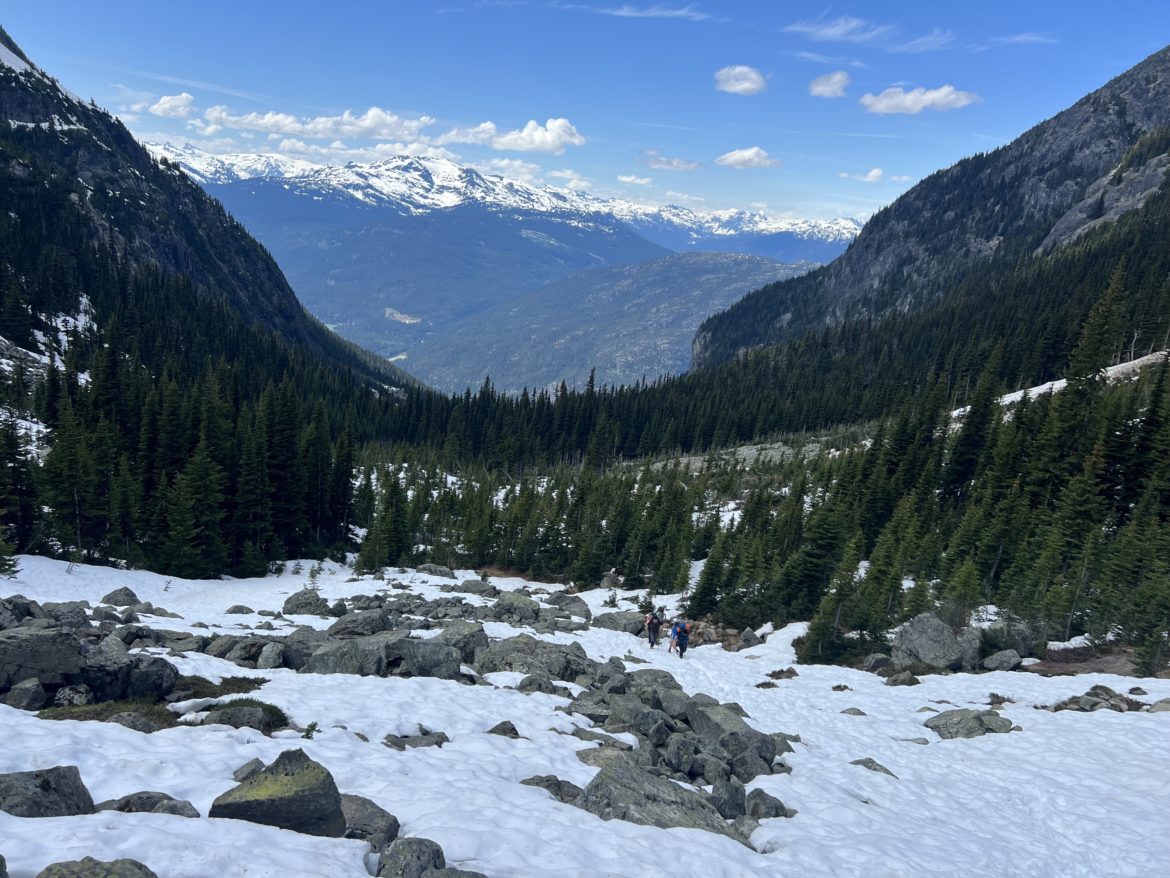
After having a few weeks of high avalanche conditions, the May long weekend looked promising with low avalanche and good weather conditions. So I organized a group where the plan was to camp Saturday night at Wedgemont Lake, and start the hike up early in the morning the following day.
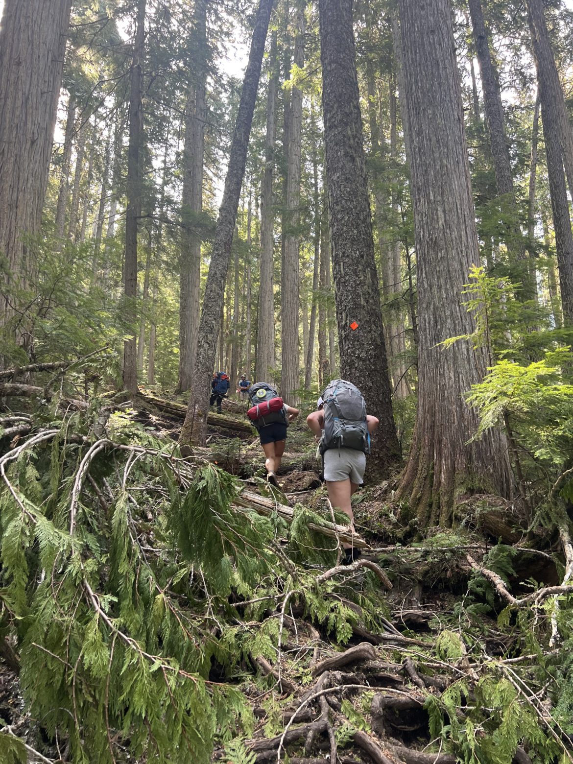
On Saturday, we drove up and parked our vehicles near the Trailhead of Wedgemount Lake, and began our hike at around 9am to the lake.
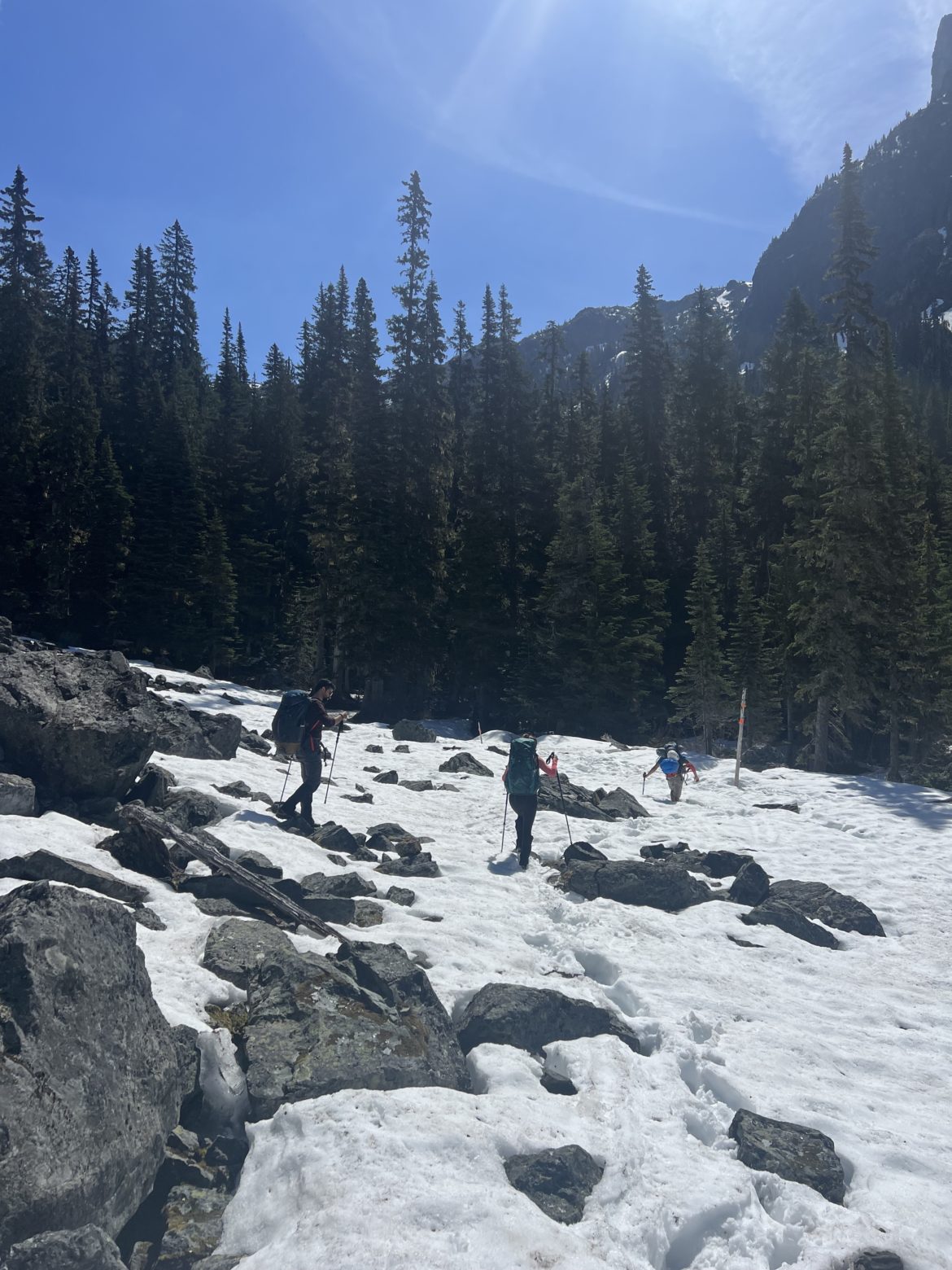
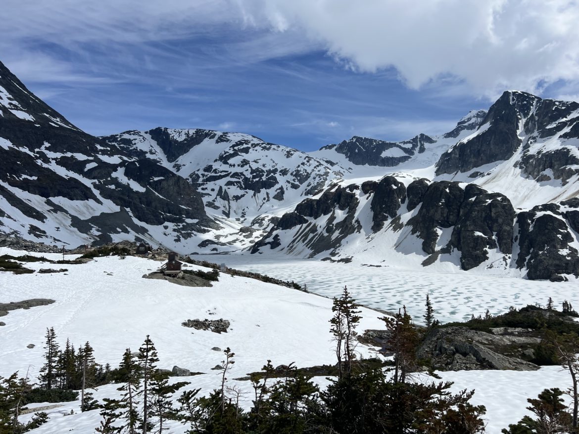
From the start of the trail to the boulder field at the 3.4.km mark before crossing the small creek, the trail was very straightforward with no snow and dry for the most part. The snow line started at the boulder field and the snow was a bit soft. Snowshoes helped a bit but we ended up taking them off at the last 200m where the deep slope started all the way to the lake.
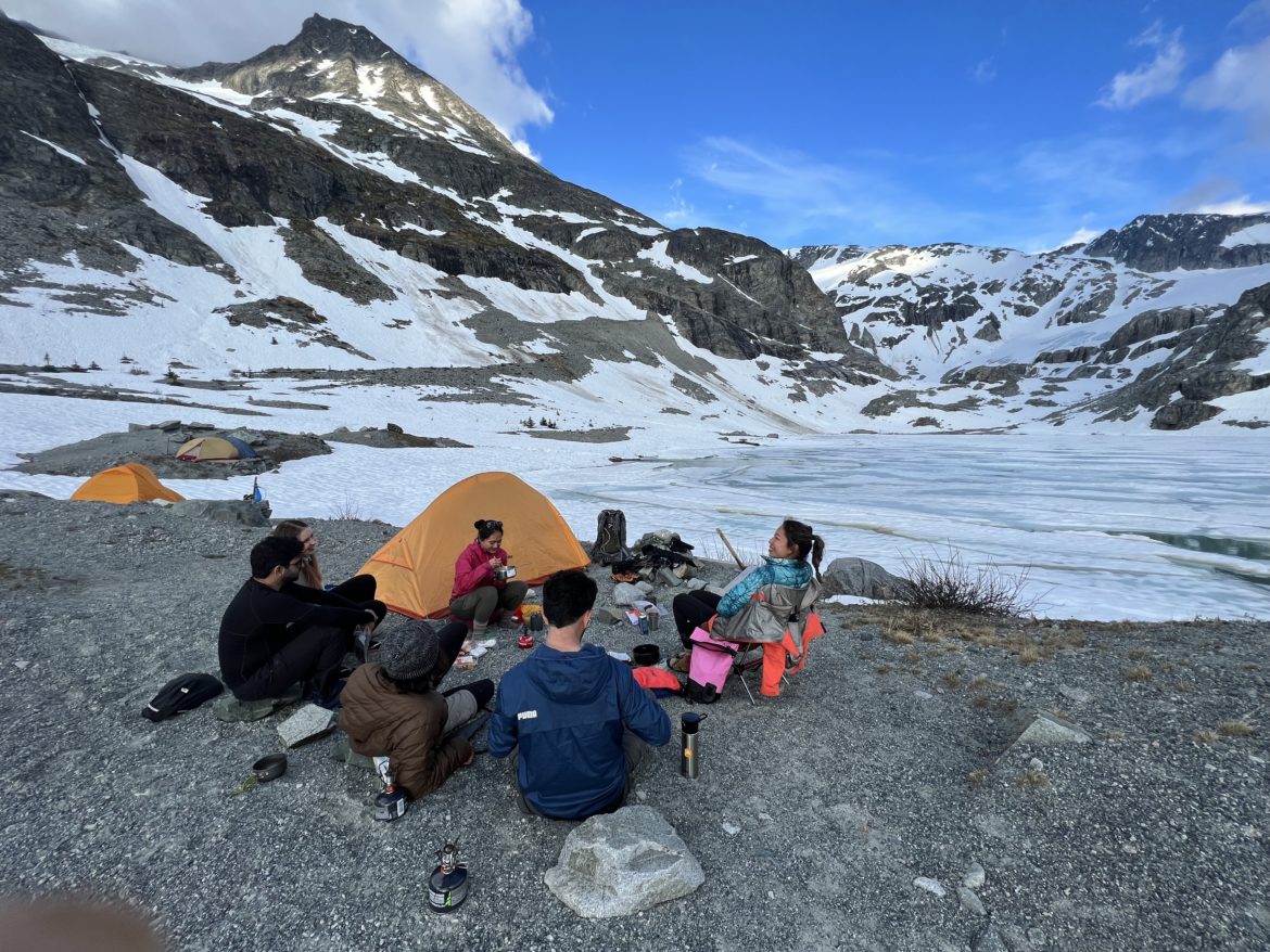
We set up camp near the end of the lake at around 2pm. Sun was out and weather was warm. We just relaxed, swam in the ice cold lake and explored around the area a bit.
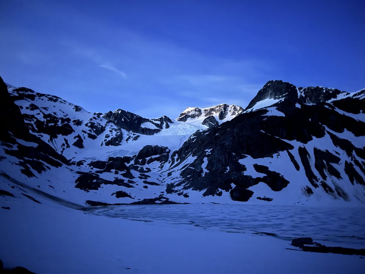
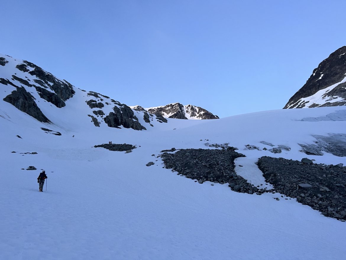
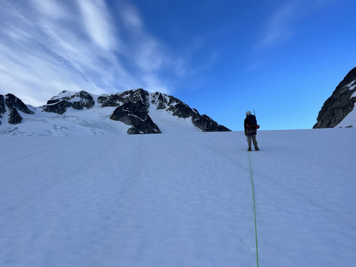
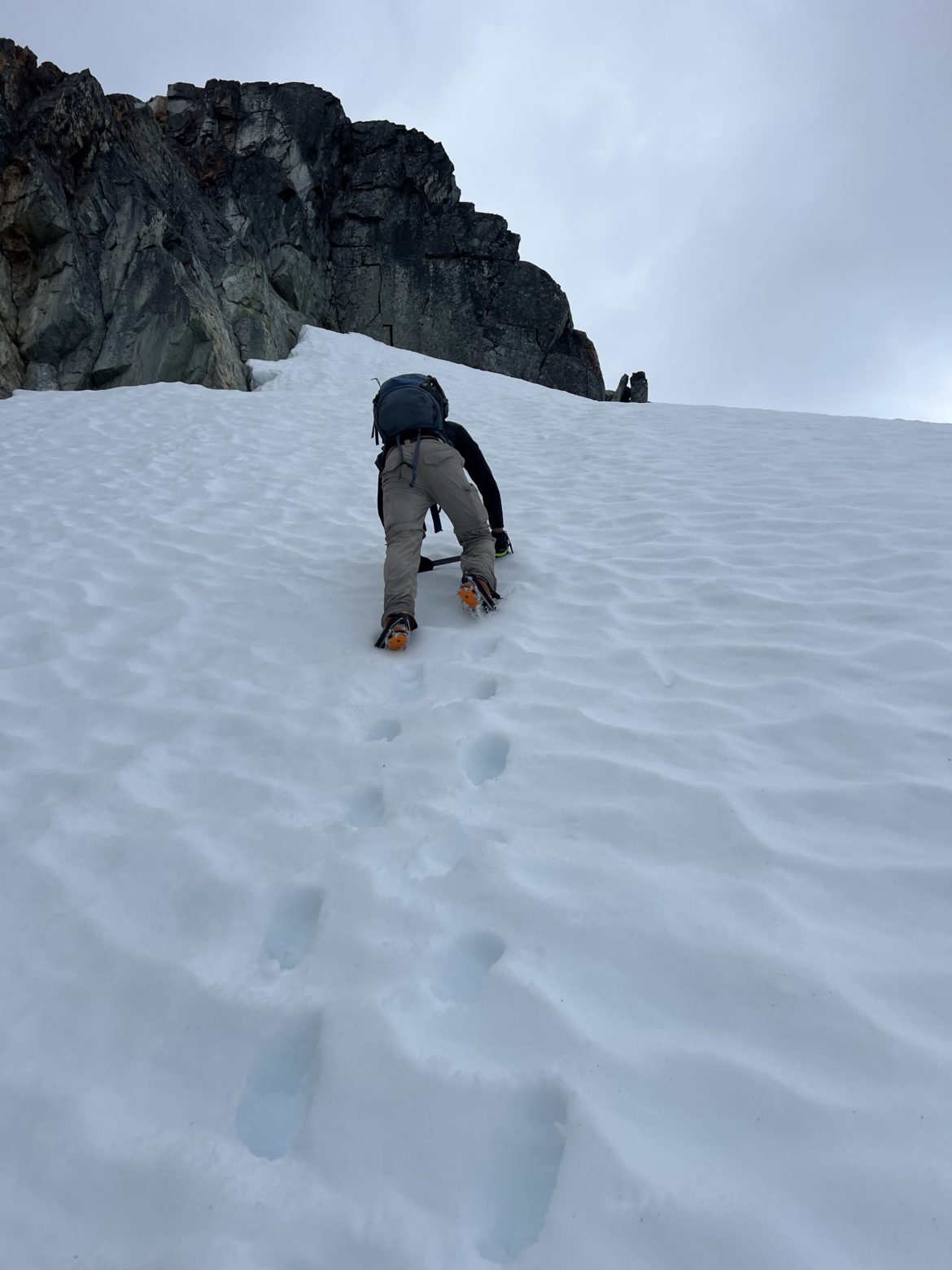
After turning in at 9pm and catching some zzzzz, Akhil and I woke up at 4am Sunday morning, prepared our gear, strapped on our crampons and started to trek towards Tupper Lake and Wedgemont Glacier while our other 5 fellow hikers stayed behind. Snow was firm, the wind was calm, and the sky began to light up slowly.
Once arrived at the glacier and passed Tupper Lake at around 4:30am, we strapped on our harnesses and roped up to traverse across the glacier.
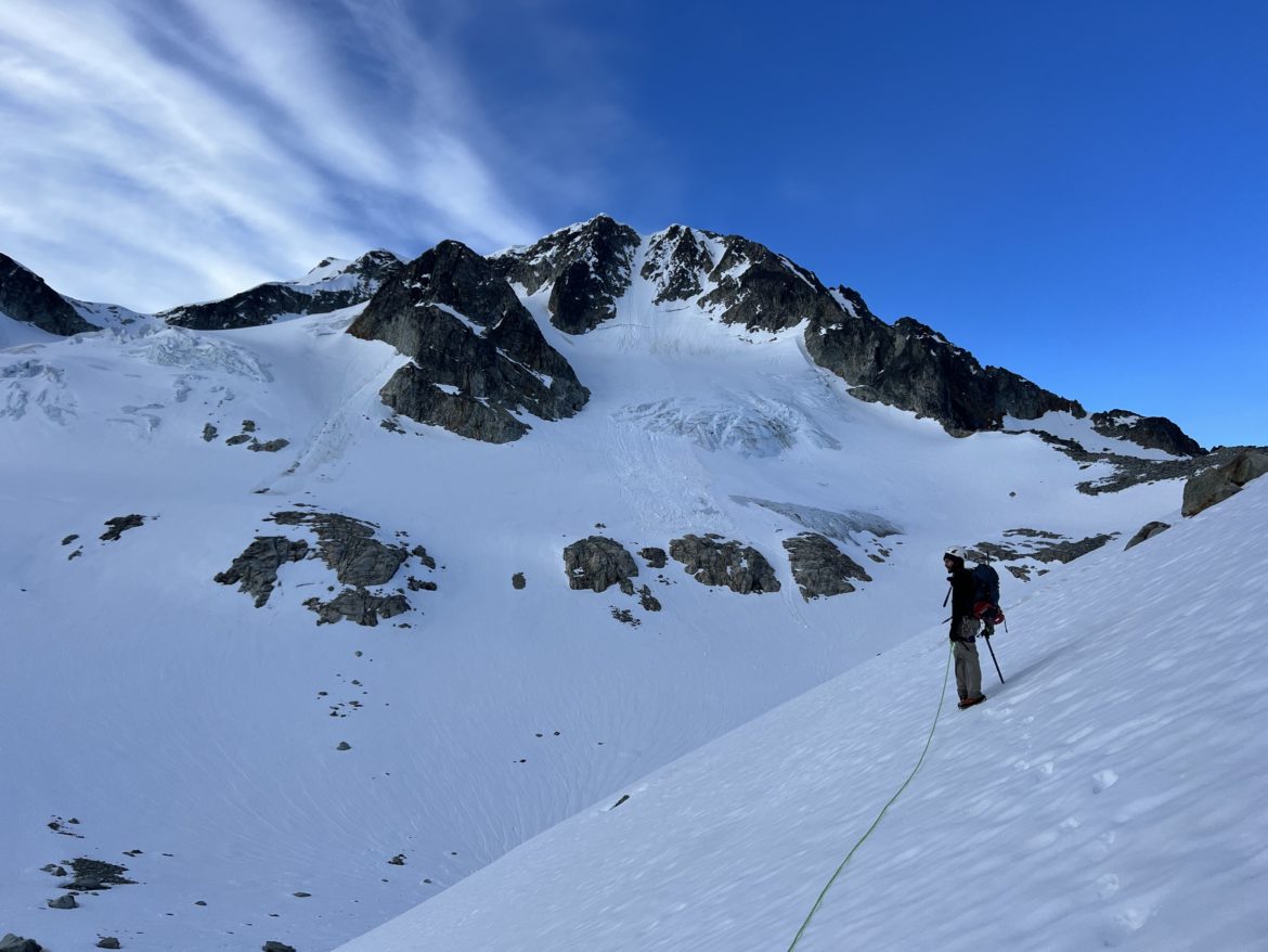
Akhil and I had different ideas on going up. Either taking the longer route on the West Ridge, or traversing up Wedgemont Glacier to our left towards the north face. Akhil was the more cautious type and concerned with crevasses and risk of avalanches, even though there were 2 other hikers ahead of us heading towards the NE Arete. Whereas I much prefer to take the North face route as I was confident there are no avalanche and crevasse risk at all. After much discussion, I wanted my buddy to feel safe and confident, so I caved in and agreed with Akhil to do the longer route going past Parkhurst/Wedge col to the west ridge.
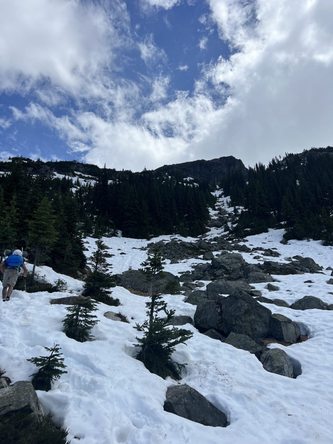
So we traversed across the glacier towards Parkhurst, then trekked along its base and side hilling along the lower face towards the col. We reached the col at around 7am; more time then it took us as we were taking our sweet ass time.
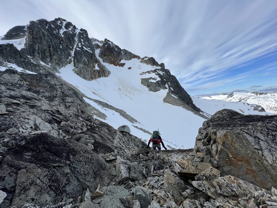
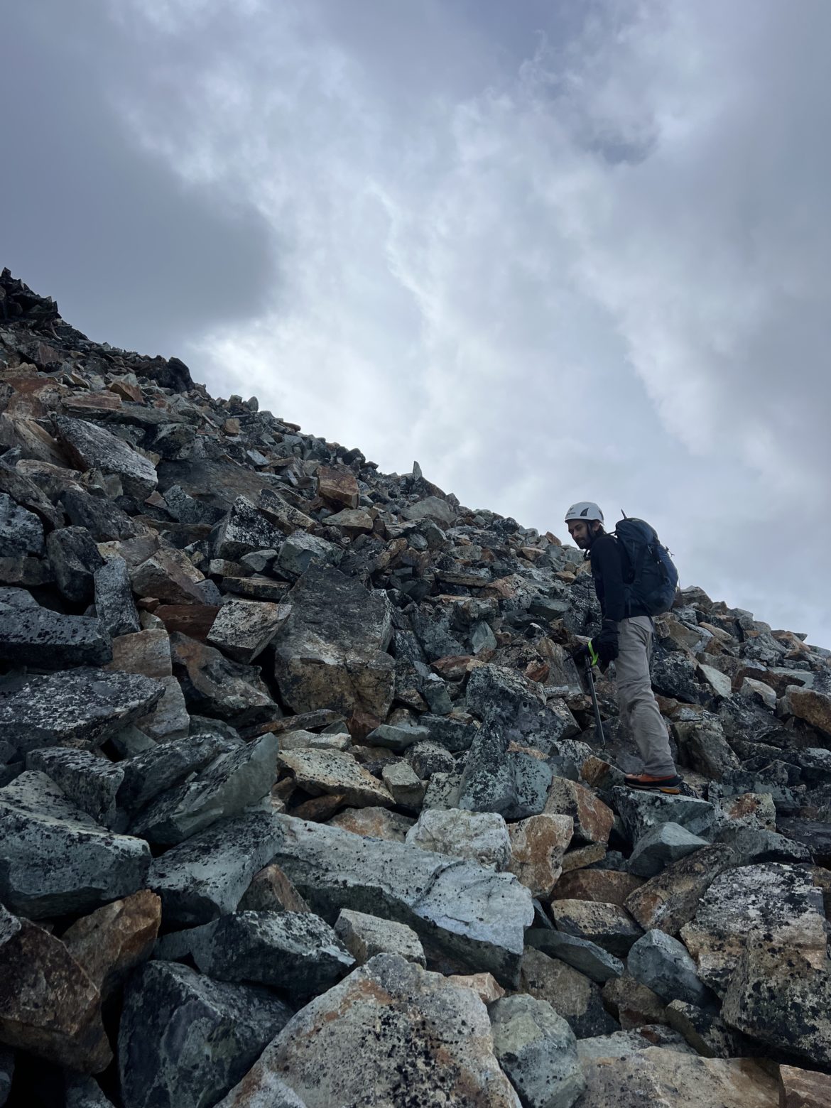
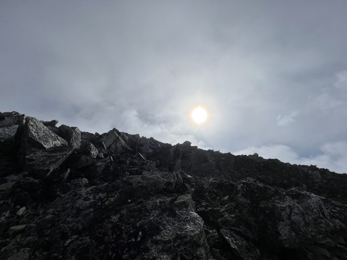
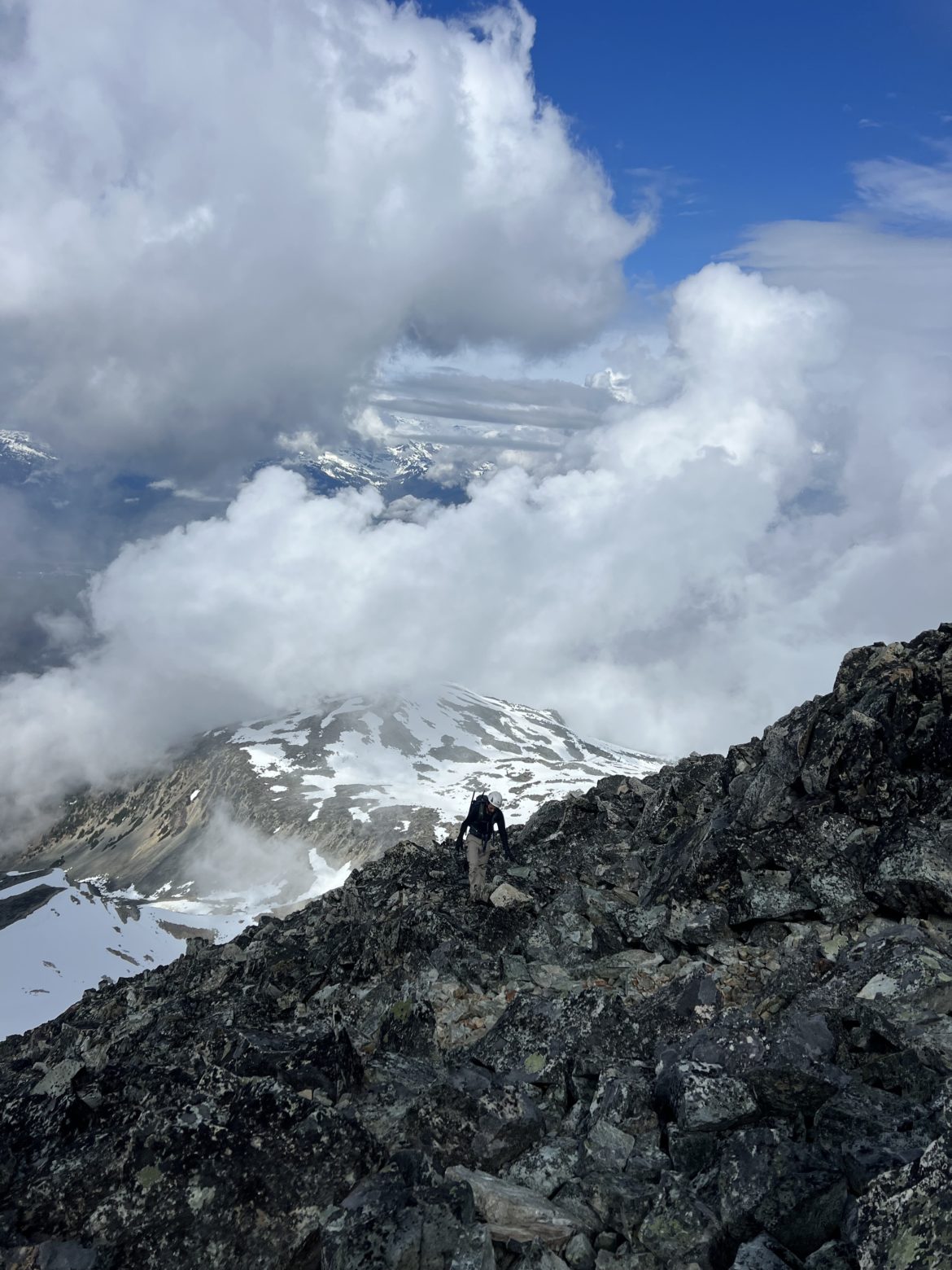
From the col, we went down the depression, ditch our rope and snowshoes on boulders clear of snow, then headed towards the couloir and boot packed up the ridge. Once at the sub ridge of Wedge at 8:30am, we took off our crampons as the elevation up was all scrambling and clear of snow. The fog started to roll in as we ascended up but didn’t effect our visibility. As we scrambled up higher, the clouds kept on rolling in and out.
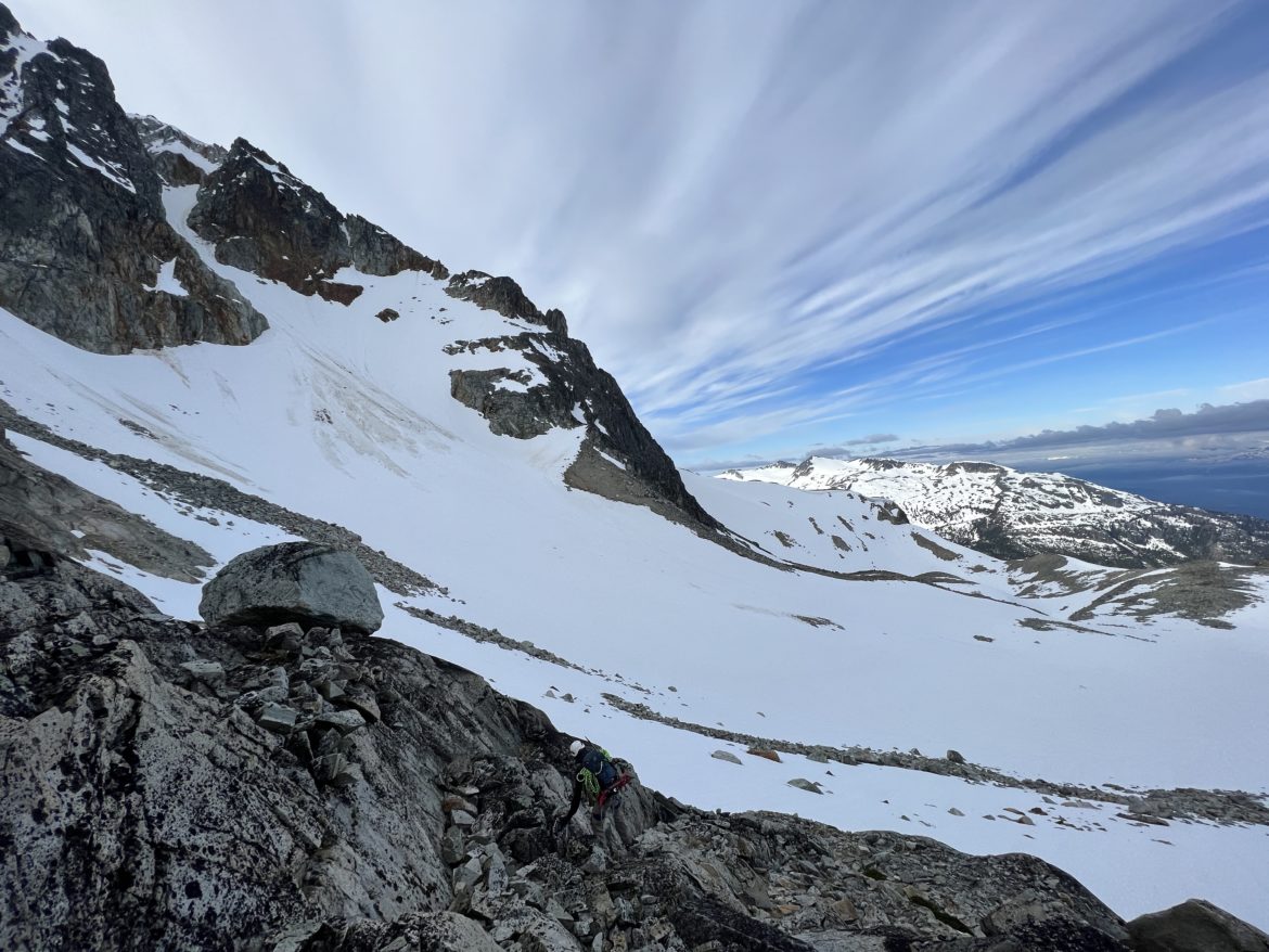
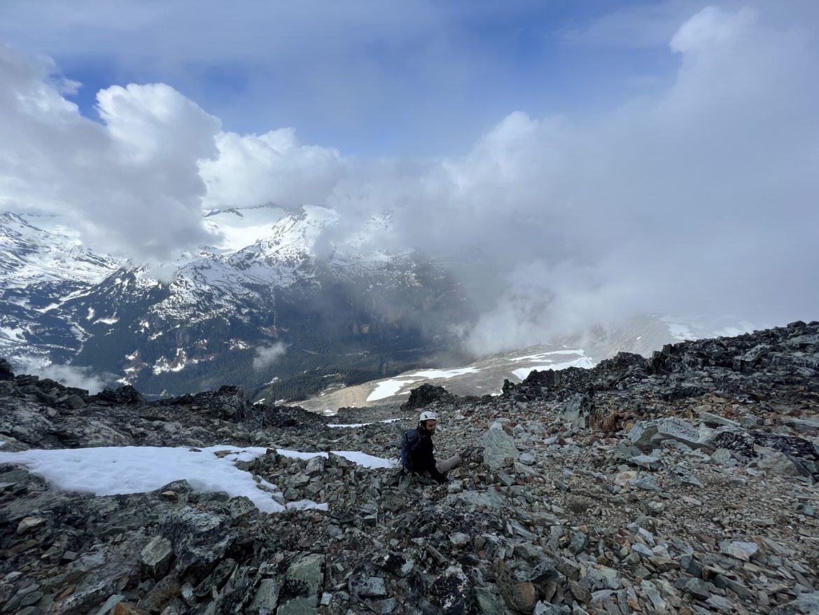
After an hour or so, we reached the main ridge where we saw our objective ahead just 600m away. The sky opened up for us but as we approached the summit, clouds began to roll in.
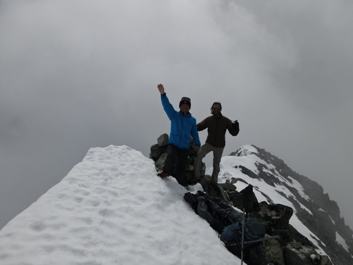
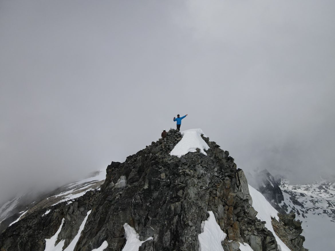
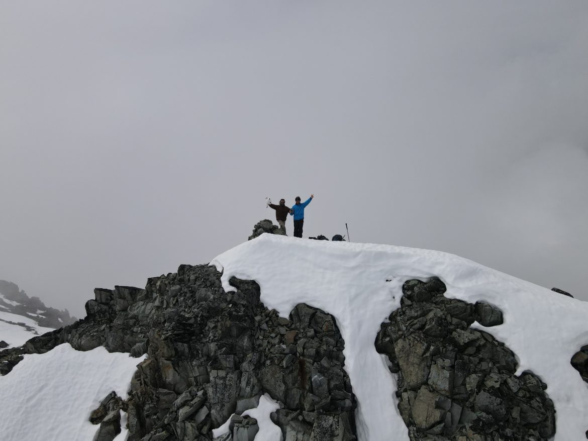
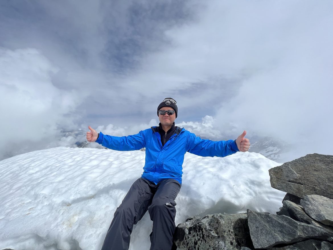
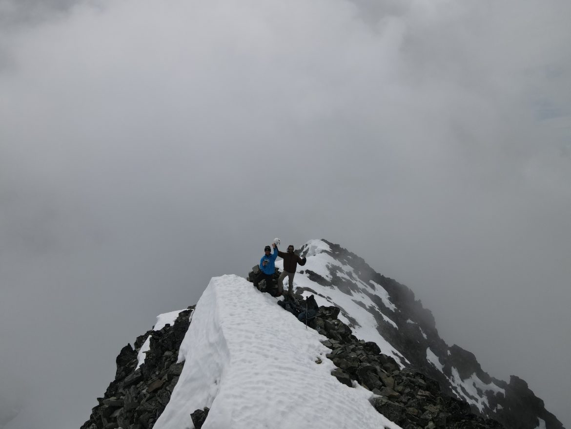
Finally reached the summit of Wedge at 11am. Took us longer than expected but glad to have made it. With clouds clearing away, we had a short window of views of Mt Weart, Wedgemont Lake, Lesser Wedge, and small opening view of Rainbow mountain.
2 comments
Hi, I’m planning on doing this hike at the end of August, is it a must to rope up on the glacier or can we make it without it ?
If you’re traversing across the glacier, it’s recommended you have a rope for sure.